Tag Archives: jabal nafusa

Book: فهرس مخطوطات خزانة الشيخ محمد بن عيسى بن سعيد المرساوني

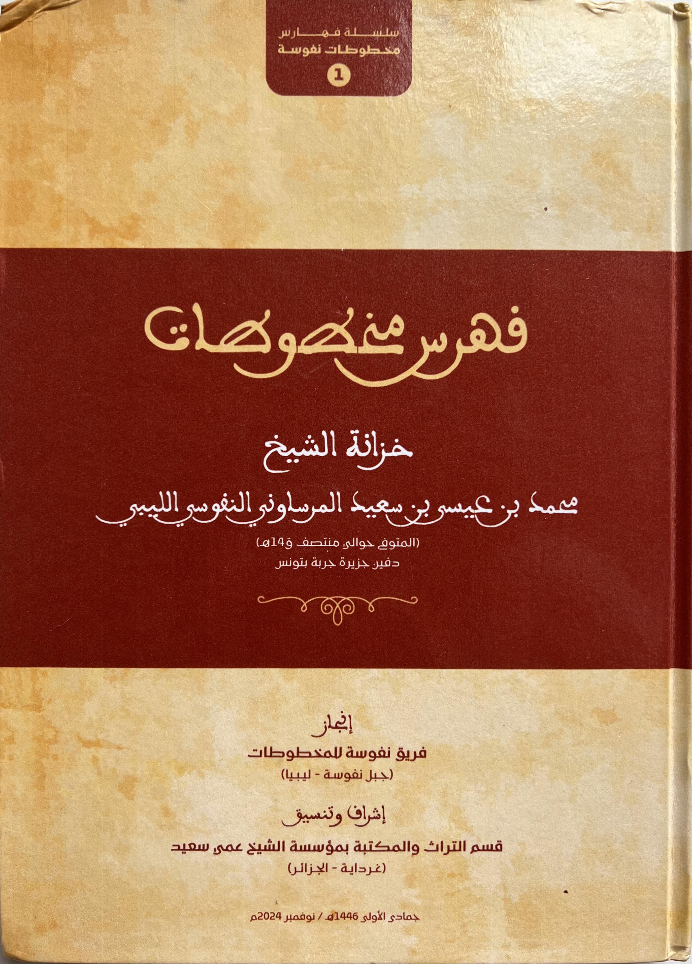
A new series entitled سلسلة فهارس مخطوطات نفوسة “Catalogs of Nafusa Manuscripts” has been launched by the Library and Heritage Department of the Shaykh ‘Ammi Sa‘id Foundation in Ghardaïa, Algeria. The first book of that series is a catalog of the collection (خزانة) of Shaykh Muḥammad ‘Isa Sa‘id al-Marsawani al-Nafusi al-Libi (who died in the early 1900s and was buried in Jerba) prepared by the “Nafusa Manuscripts Team”.

فهرس مخطوطات خزانة الشيخ محمد بن عيسى بن سعيد المرساوني النفوسي الليبي (المتوفي حوالي منتصف ق١٤ه دفين جزيرة جربة بتونس)، انجاز فريق نفوسة للمخطوطات، اشراف وتنسيق قسم التراث والمكتبة بمؤسسة الشيخ عمي سعيد، 2024

Sheikh Marsawani was originally from a village near al-Rheybat in the Nafusa Mountains, was educated in Egypt, and eventually fled to Jerba after the Italian conquest of Libya (for more on which see this recent article), bringing with him manuscripts from Egypt, manuscripts he copied himself, and a number of other texts and documents. This catalog includes a number of interesting manuscripts, including poetry by and about local sheikhs, as well as a variety of documents.

Many thanks to colleague Soufien Mestaoui for sharing a copy with me!

Article: Migration from Ottoman Trablus al-Gharb to Djerba

A recent (open-access!) article by our colleague Paul Love of Ibadi Studies based on local and colonial archives as well as fieldwork with the community:

Love, Paul M. 2025. M’addibs and Migrant Laborers: Migration from Ottoman Trablus al-Gharb to Djerba, Tunisia in the Early 20th Century. International Journal of Middle East Studies 57(2). 294–312.

Abstract: This article follows the history of migration from the mountain villages of the Jebel Nafusa in Ottoman Trablus al-Gharb (in today’s northwestern Libya) to the southern Tunisian island of Djerba in the early 20th century. It situates this local history of migration within the broader framework of Maghribi migration both before and during the colonial era in Libya (1911–43), while tracing the histories of two categories of migrants, in particular, manual laborers and Qur’an teachers (m’addibs). The article makes three claims: (1) Nafusi migration was as much the result of local historical circumstances as it was a response to colonialism; (2) the historical experience of migration of Nafusis differed according to social class; and (3) local circumstances shaped the dynamics of migrant integration in the Maghrib. In doing so, I demonstrate how Nafusi migration to Djerba both conforms to and diverges from the larger history of late Ottoman and colonial-era migration in Tunisia. By shifting the focus away from the colonial moment, I make the case for foregrounding longer-term regional connections and migrations that linked different spaces across the Maghrib and also attend to local histories and what they offer in the way of caveats and exceptions.

Article: Preserving Cultural Heritage in the Jabal Nafusa

Nebbia, N., Leone, A., Bockmann, R., Hddad, M., Abdouli, H., Masoud, A. M., Elkendi, N., Hamoud, H., Adam, S. & Khatab, M. (2016). Developing a Collaborative Strategy to Manage and Preserve Cultural Heritage During the Libyan Conflict. The Case of the Gebel Nāfusa. Journal of Archaeological Method and Theory 23(4): 971-988.

Abstract: The paper discusses the potential of a collaborative scheme for the development of a protocol for recording and managing the cultural heritage in Libya. The critical political situation in the country urges the development of cultural heritage management policies in order to protect it more thoroughly and consistently. Moving on from the numerous international initiatives and projects dealing with a mostly “remote” approach to the issue, the project here presented to engages with staff members of the Department of Antiquities (DoA) in the development of a joint strategy for the application of remote sensing and geographical information systems (GIS) to the preservation and monitoring of Libyan cultural heritage. A series of training courses resulted in an initial development of new ways of recording and analysing field data for a better awareness of the full range of threats that the archaeology of the country is subject to. Focussing on the case of the Jebel Nafusa, the training involved the assessment of site visibility on satellite imagery, the analysis of high-resolution satellite datasets for archaeological mapping, the creation of a GIS spatial database of field data, and the mapping of risks and threats to archaeology from remote sensing data. This led to the creation of of a risk map showing the areas that are affected by a number of threats, thus giving the DoA a tool to prioritise future fieldwork to keep the assessment of site damage up to date. Only a collaborative approach can lead to a sustainable strategy for the protection of the invaluable cultural heritage of Libya.

Note: the article is behind a paywall, but those with university or library accounts should be able to access it.

Book: The Ibadite Mosques of Jabal Nafusa

The newest publication of the Society for Libyan Studies’ monograph series is a much-anticipated study of the Ibadite mosques in the Nafusa mountains of western Libya by Virginie Prevost, a scholar of the Ibadites in North Africa.

Virginie Prevost (2016) Les mosquées ibadites du Djebel Nafūsa: Architecture, histoire et religions du nord-ouest de la Libye (VIIe-XIIIe siècle). [The Ibadite Mosques of the Jabal Nafūsa: Architecture, history and religion of North West Libya (7th-13th centuries)]. London.

From the publisher’s description: “The mosques of the Djebel Nafūsa, little known and under threat, personify the continuity of traditions and faith of the Ibadites, who have retained their grip over the centuries on this rugged landscape, despite their many trials and tribulations. This book is the result of a mission carried out in 2010 with the photographer Axel Derriks and examines twenty or so mosques, bringing to light their architectural features and linking them to medieval Ibadite texts.” The book features over 150 full-color photographs, maps, and plans.